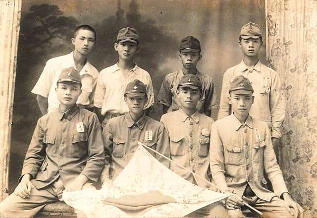
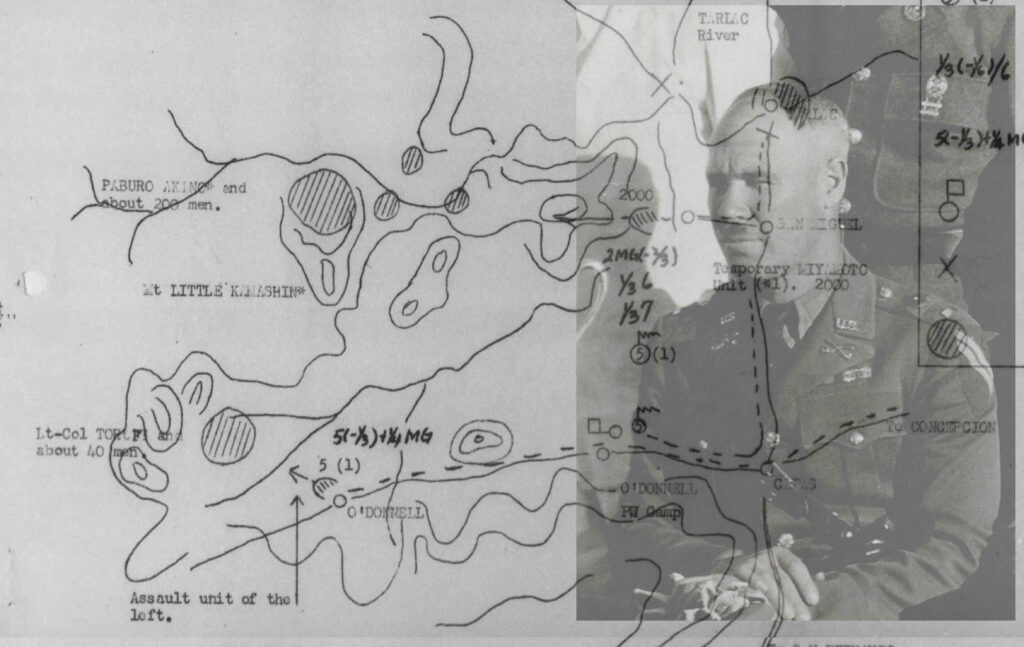
before his capture on October 29, 1942.
Investigating History: Archival Papers From NARA
TRANSLATED JAPANESE IMPERIAL ARMY MAP SHOWING JAPANESE GARRISON FORCES AND USAFFE AND HUKBALAHAP GUERRILLA LOCATIONS IN TARLAC, OCTOBER 4, 1942
With the recent availability of materials from the Philippine-American War, there is the resurgence of historical consciousness in the study of history in a wide perspectives from Filipino captured documents and into WWII, where Japanese captured documents translated officially by the U.S. Army are made available.
It is more interesting to know that in our Province of Tarlac, there is Dr. Lino L. Dizon, the prominent Tarlaqueno historian, who writes numerous historical articles and these available materials are now being utilized to make such historical narratives into popular history. Harcee Sarmiento, whom I have known and met on several historical conferences, is also in the writing of historical articles using materials available from NARA on-line. We are proud of you, sirs.
As I am checking out for papers for Bamban and Tarlac Province, I came across numerous sets of documents including captured Japanese papers and maps, recovered by the US Army in specific areas of operations by the infantry division and officially translated into English by the Advance Allied Translator Interpreter Services (ADVATIS); a specialized unit in the US Army for intelligence and translation, and the Allied Translator and Interpreter Section (ATIS); whose tasks were to translate, analyze and processed captured Japanese military documents, diaries, codes and interrogations of prisoners of war (POW). It is now to the joy of individual researcher, writer of history, historians, teachers and students to utilize fully such gargantuan materials made available by NARA.
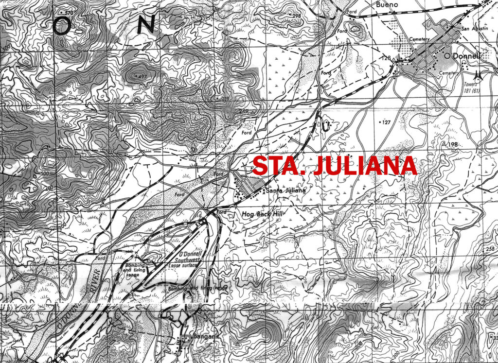
headquarters in September 1942 after escape from Japanese raids in Mt. Pinatubo.
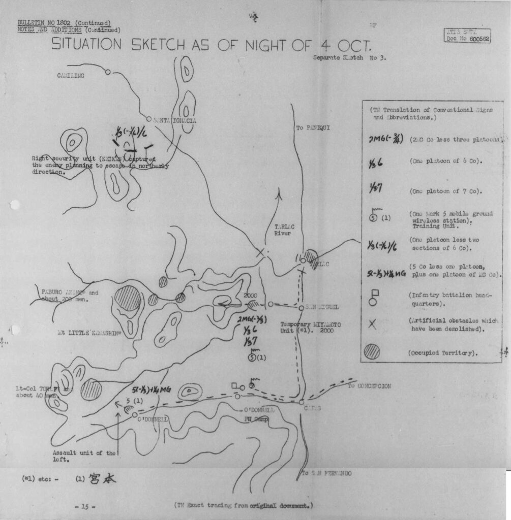
Situation Sketch As Of Night of October 4, 1942
For this article, I am presenting the captured Japanese map, dated October 4, 1942, showing the Japanese military unit locations in the Province of Tarlac, particularly on the western sector, where Filipino guerrilla forces where holed and hiding. Among the guerrilla forces was that led by Lieutenant Colonel Claude A. Thorpe, indicated in the map (as translated) as Lieutenant Colonel Toruf, with about 40 men. This is an important map with such information being held by the Japanese military at Tarlac at the time, and it was the darkest days in the history of Occupation in WWII in the Philippines as they were on punitive actions against American and Filipino guerrilla leaders. Lieutenant Colonel Thorpe was considered to be the Father of USAFFE Guerrilla Movement, as he initiated guerrilla war against the Japanese as early as January 1942, where he and some Filipino and American military personnel decided to go behind Japanese lines from Bataan to Clark Field area and organize guerrilla forces. Unfortunately, with the transfer of his headquarters from Mt. Pinatubo to Tarlac, where he moved from Sta. Juliana (September 2, 1942) and then to Mt. Pugad Babi and finally to Sitio Maanot, western Tarlac in early October 1944.
Source: NARA
This Sketch Map made available shows the location of Lieutenant Colonel Thorpe with his 40 men, although there were few numbers of his staff and crew at that time, including Lieutenant Herminia Dizon, his girlfriend. The date October 4, 1942 as indicated in the map is an important date, where Thorpe would be captured on October 29, 1942 near Sitio Maanot, Tarlac (western sector).
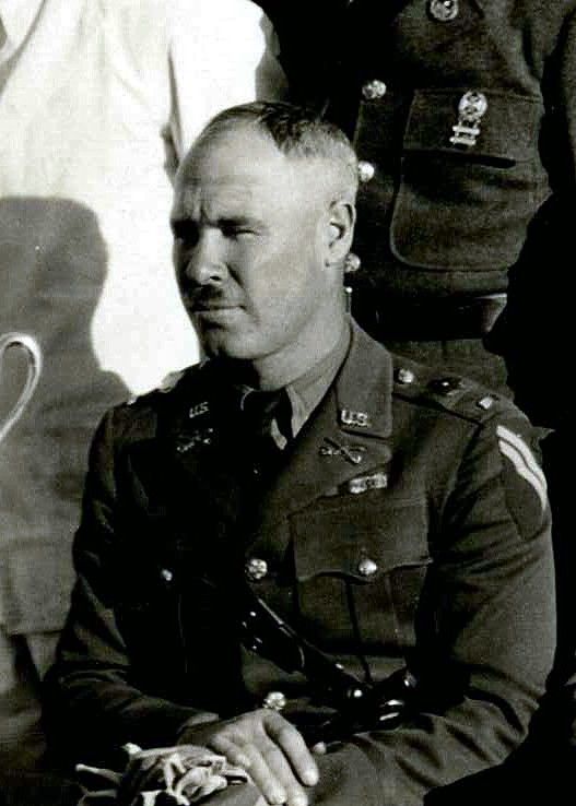
movement.
Source: https://www.findagrave.com/memorial/56785929/claude_armenius-thorp
Also mentioned in the Sketch Map is Pablo Aquino, whose location with his 200 men was to the north of Lieutenant Colonel Thorpe’s hideout but which was on the western sector of Tarlac, Tarlac. Pablo Aquino held the rank of lieutenant colonel, in command of the General Antonio Luna Regiment which was a subordinate command of Colonel Eusebio Aquino of the 3rd Regional Command, HUKBALAHAP. Under the command of Lieutenant Colonel Pablo Aquino were the Villamor Battalion and Del Rosario Battalion, the latter sphere of operations were on the western Tarlac and south Tarlac.
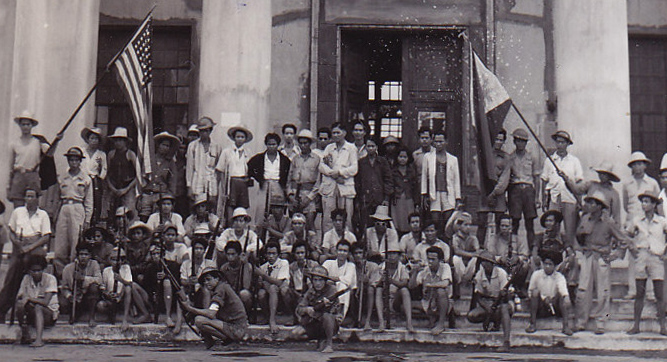
Source: NARA
Also highlight of the Sketch Map are the locations of Japanese garrison forces, with particular unit such as platoon, company and infantry battalion along with communication unit, weapons and battalion headquarters. The map also shows the direction of Japanese forces with radio communication and platoon of machine gun units advancing along the mountainous regions of western Tarlac against Lieutenant Colonels Thorpe and Aquino’s positions on October 4, 1942.
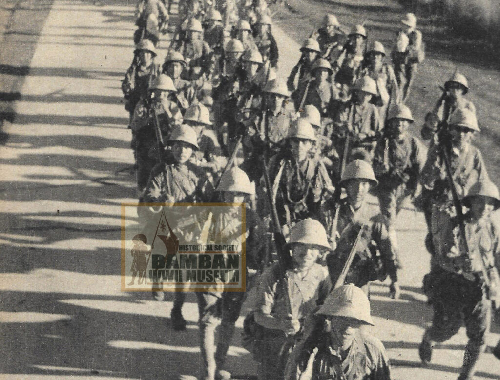
These Japanese maps such as this Sketch Map, as translated Allied Translator and Interpreter Section (ATIS), compiled for WWII articles, provide us important historical knowledge and perspective that would contribute in the advancement of study of WWII History in our locality.
More articles on WWII History using Japanese documents will be posted.
© 2026 Rhonie C. Dela Cruz
Bamban WWII Museum/Historical Society
Bamban Center for Pacific War Studies
WWII Remembrance Network – Hell Ships Memorial Foundation
PGT – Tarlac Provincial Tourism Office
Citation:
(1) World War II Operations Reports – Pacific Theater: 12-009 “Situation Sketch Map As Of Night of October 4”. https://catalog.archives.gov/id/402396662, accessed October 3, 2026.
(2) HUKBALAHAP – Hukbo ng Bayan Laban sa Hapon, File No. 118-1, Folder No. 1. Philippine Archives Collection, Record Group 407, National Archives, College Park, Maryland.